Walton Parish Council
Maps & Gallery
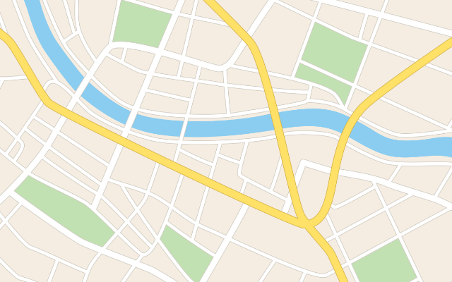
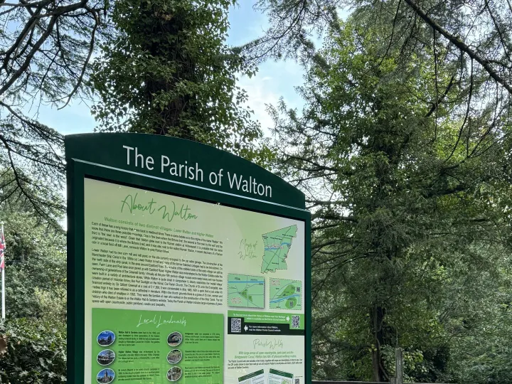
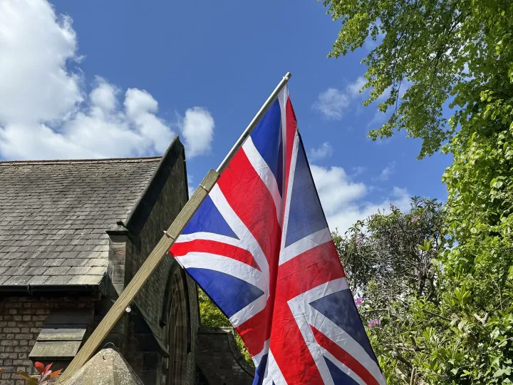
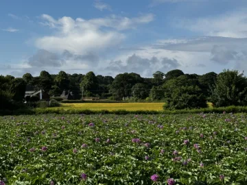
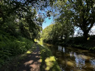
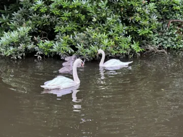
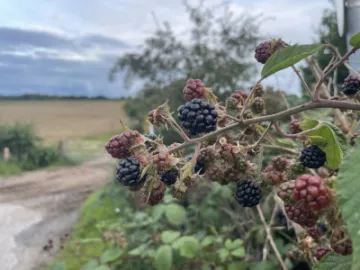
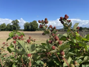
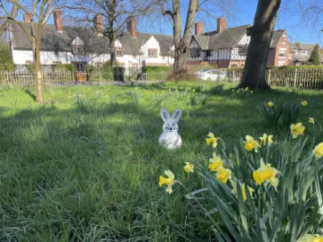
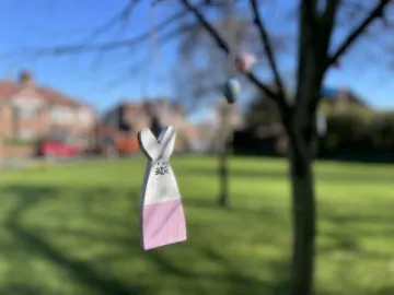
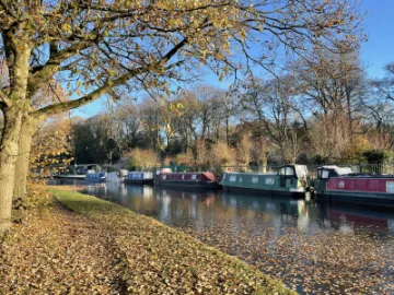
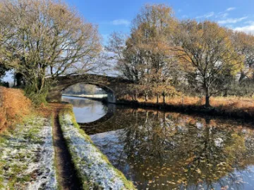
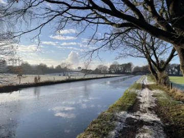
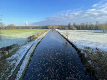
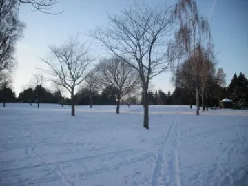
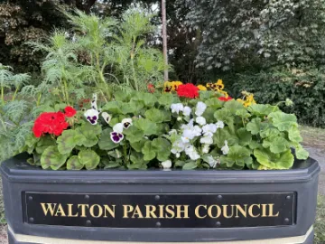
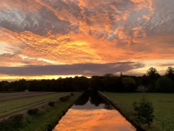
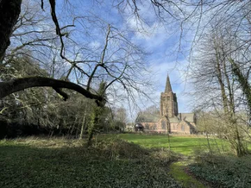
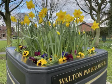
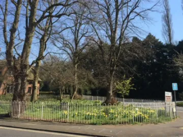
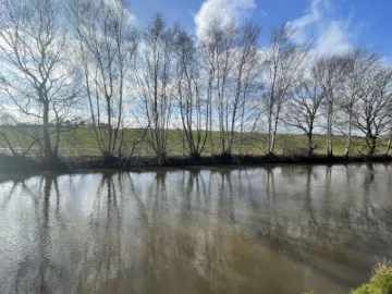
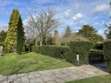
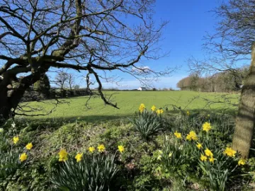
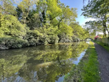
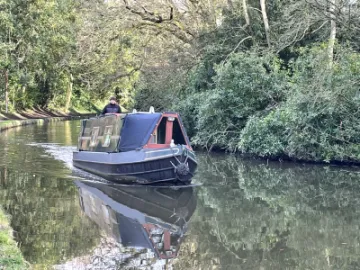
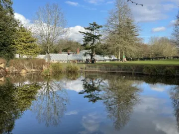
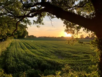
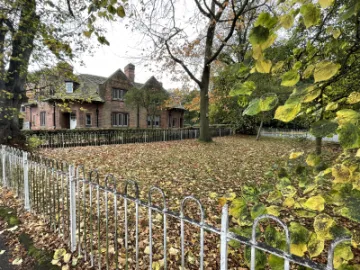
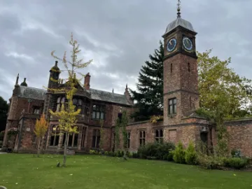
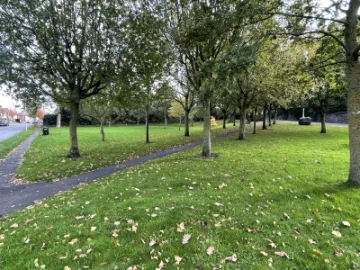
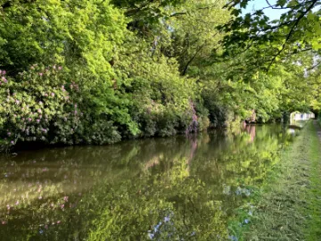
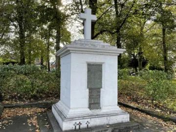
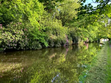
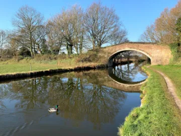
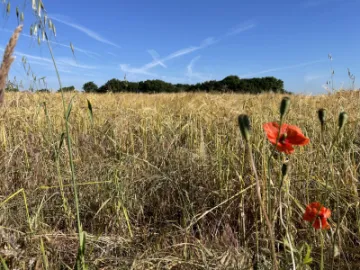
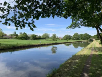
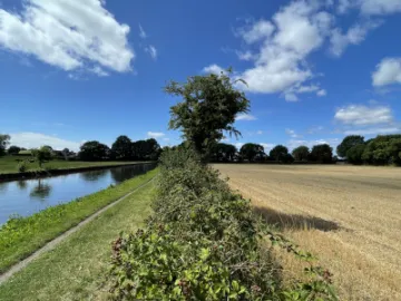
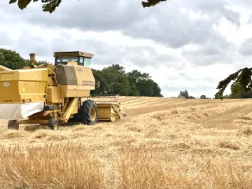
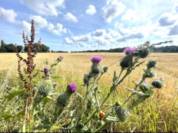
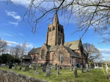
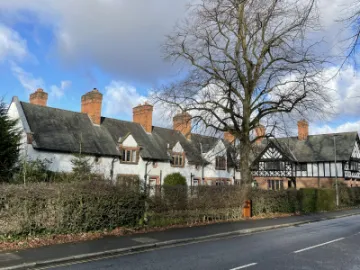
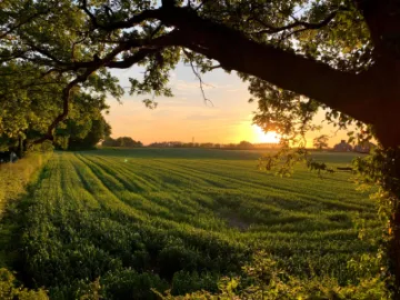
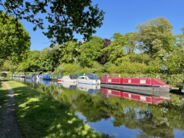
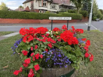
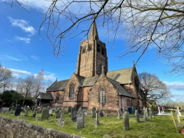
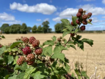
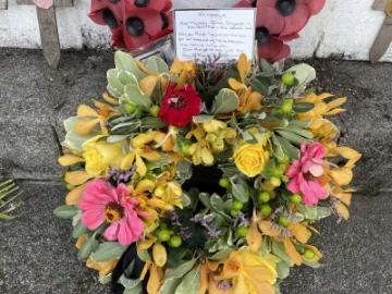
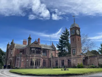
Walton Parish is situated to the southwest of Warrington, adjacent to the village of Stockton Heath. Walton consists of two distinct areas: Lower Walton and Higher Walton. Each of these areas has a distinct history that dates back to medieval times. This page shows the location of our parish and details of the conservation area within Higher Walton. We have added a gallery of photographs taken in both Lower and Higher Walton.
Local Walks
We will be adding more local walks to our website over the coming months.
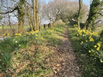
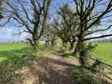
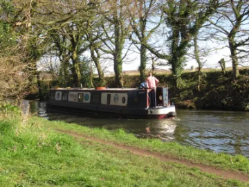
Walk 1: Country lanes around the Parish. See the route information on this page.
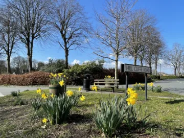
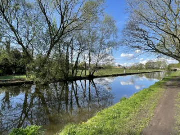
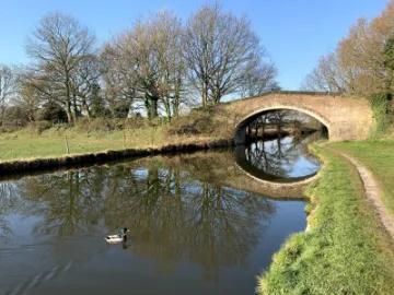
Walk 2: Walton Gardens to Hill Cliffe.See the route information on this page.
Do you have good, high resolution images of our parish? If you have, email to: davidhazeldine@waltonparish.gov.uk for inclusion in future gallery uploads. (Pictures will need to be free from any copyright restrictions).
Quick Links
Get In Touch
Where We Are